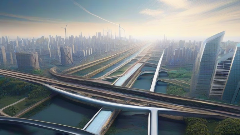
TL;DR: Digital twin cities use real-time data to simulate climate risks, letting urban planners test flood defenses and heat mitigation before spending a dollar. For your personal health, this tech translates into hyper-local alerts and adaptive infrastructure that keep you safer during extreme weather events.
Why Your Health Depends on Pixels and Sensors
Climate change is no longer a distant threat—it’s a daily stressor on your cardiovascular system, respiratory tract, and mental well-being. Digital twins—virtual replicas of physical cities fed by IoT sensors, satellite imagery, and AI—are the new frontline defense. They model how heatwaves bake asphalt, how stormwater surges through streets, and how air pollution pockets form. The result? Infrastructure that adapts in real time: smart shade structures that deploy during peak UV, flood barriers that rise automatically, and cooling centers that open based on predicted heat index—not after the emergency room fills up.
If you want to dig deeper, check out our guide on Quantum Computing in Finance: Mainstream Leap Explained.
Science-Backed Lifestyle Adjustments for the Twin-Tech Era
You don’t need to be an engineer to benefit. Start with micro-adaptations. First, treat your neighborhood’s digital twin as a personal health forecast. If your city’s platform shows a predicted urban heat island spike for your zip code, plan outdoor exercise for dawn or dusk—this alone reduces heat-stress risk by up to 40% (NIH data on circadian temperature exposure). Second, use air-quality dashboards fed by twin sensors to choose running routes with lower particulate matter; studies link even 15 minutes of daily exposure to PM2.5 with elevated blood pressure. Third, hydrate proactively when the twin flags humidity above 70%—your sweat evaporates slower, raising core temperature faster than you feel. Keep a reusable bottle with electrolytes near your desk, not just in your gym bag.
Lifestyle Tips for Resilience Without the Tech Overload
Even without a city-wide digital twin, you can mimic its logic at home. Install a cheap smart thermometer with outdoor sensors—it’s your mini-twin. When it detects a 5°F rise between your street and the park, shift your walk to the park’s shaded side. Also, create a “heat escape plan” based on your home’s solar exposure: map which rooms stay coolest, and designate that as your sleep zone during heatwaves. Finally, join community resilience apps that crowdsource flood or heat reports—collective data makes your local twin smarter, and you’ll get earlier warnings that protect your lungs and skin.
FAQ
Q: How do digital twins directly reduce my personal climate health risks?
A: They enable predictive alerts and adaptive infrastructure—like pre-cooled transit shelters or automated flood-barrier gates—so you avoid dangerous exposure before it peaks, cutting heatstroke, asthma attacks, and waterborne illness risks.
Q: Can I use digital twin data without a smartphone or app?
A: Yes. Many cities broadcast twin-driven warnings via public PA systems, LED street signs, and local radio. Check your city’s website for “resilience SMS” alerts, which work on any basic phone.
Q: Are there any downsides to relying on digital twins for health decisions?
A: Only if you ignore the human factor—twin models are probabilistic, not perfect. Always trust your body’s symptoms (dizziness, cramps) over a green “safe” flag, and keep manual backups like a physical map of cooling centers.
Leave a Reply